Two cities.
In many city plans several parts can be distinguised. The historical centre is the most ancient part of the city. Before it was walled and nowadays, although the walls are not preserved, it consists of narrow and tortuous streets with historical buildings representing old times. Subsequently, there is usually the city expansion arising from the demolition of the walls as a consequence of the population growth of the city (industrial revolution). From that moment onwards it emerges a clear degree of separation in quarters between the middle-class and the rest of the population. For that reason, the city expansion is built as a planned and residential quarter, with wide avenues, octagonal layout and green areas. Regarding the most recent growth, many times peripheral quarters have emerged without any planning where immigrants have mainly settled. Often, the city has ended up absorbing villages that were very close to its limits becoming quarters.
SOURCE: Geography 3º ESO. Gea-Clío project.
Identifying areas.
- (After reading the previous text), according to its origin, what parts can be distinguised in a city?
- Identify and colour the different types of urban areas described in the previous text in the following map of Valencia city. To do it, first print the parts of the map and assemble them.
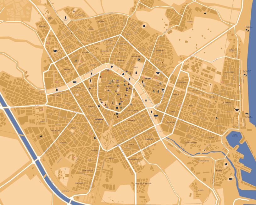
Map in just one piece: valencia.pdf.
Are all cities the same?
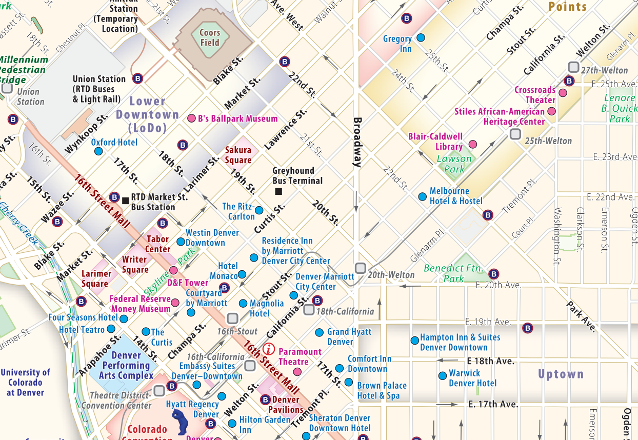
Here it is the map of the centre of a city in the United States: Denver
-What differences can you find with the map of Valencia ( obviously, beyond the fact that they are different cities)?
Valencia-Denver.
- Seek information on both cities and write a small report pointing out at least:
- Geographic location.
- Weather.
- History.
- Why do you think their layouts are so different?
- Based on this map of Denver, calculate the existing distance between the Denver zoo and the Littleton Historical Museum.
To refresh the techniques for measuring distances on maps, see section TECHNIQUES.
- Based on this map of Valencia, calculate the existing distance (approximate) between the north and the south of the medieval Valencia. To do it, here it is a clue: the distance between the bullring and the Quart towers is 1200 metres (1,2 Km).
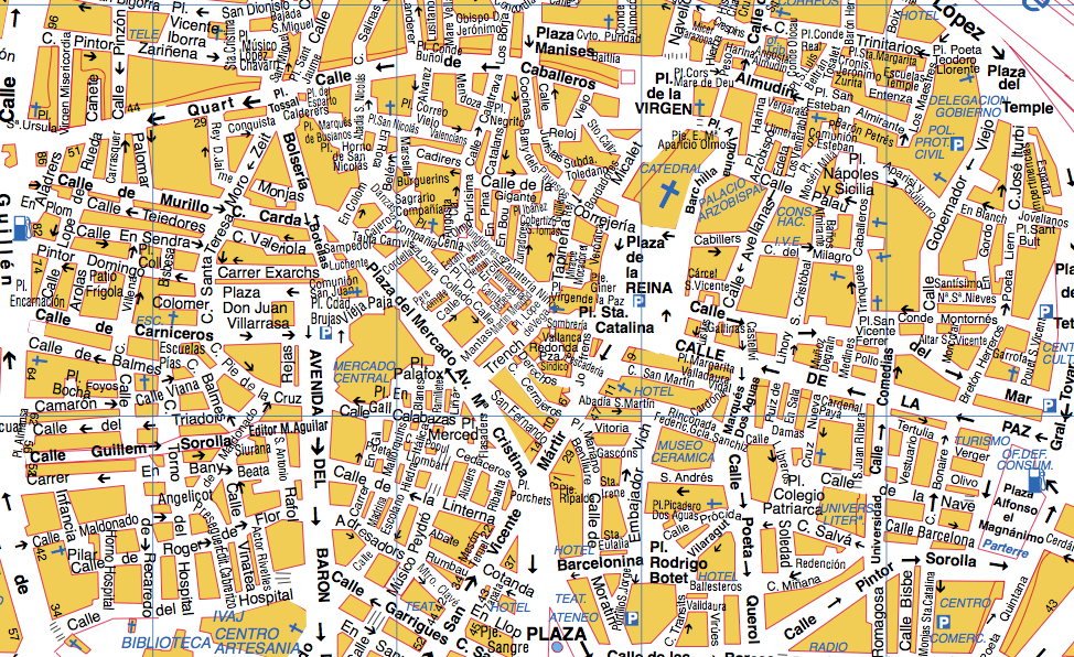
- The following map of Valencia dates from the year 1704. Place in it the following places:
- Quart Towers (Galera jail at that time).
- Cathedral.
- Bullring (nonexistence at that time: approximate location).
- What is strange about this map?
