Making maps.
In the section "Scales" you have already learned how maps are made. The technique has been used for hundred of years. However, nowadays it has improved a bit... See below two pictures of the SMOS satellite in orbit.
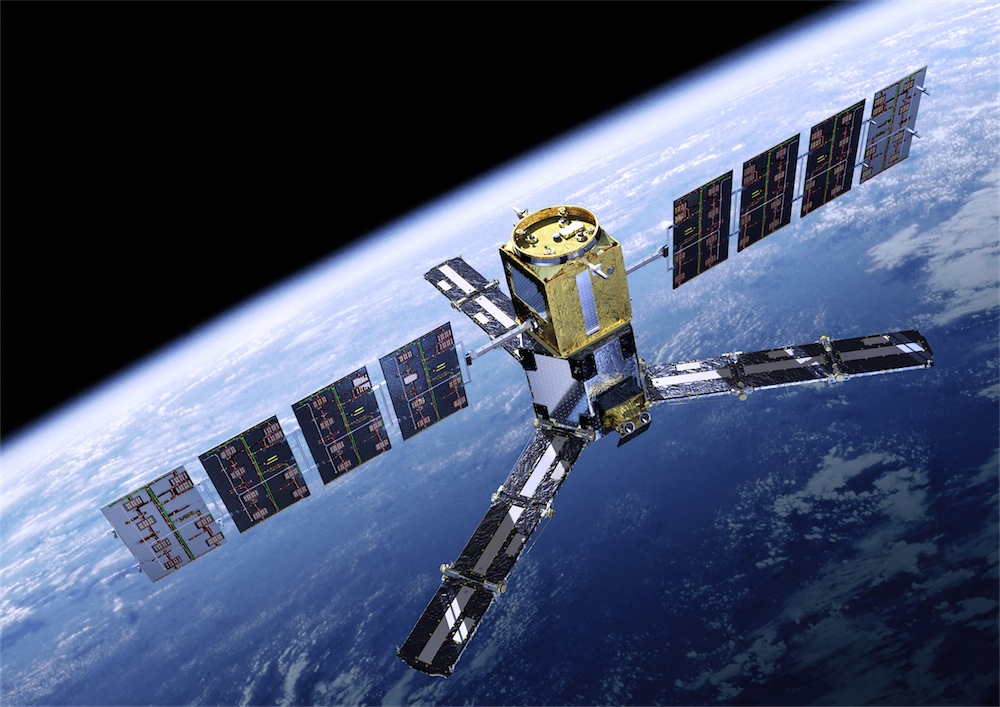
These satellites are used to obtain photographs of individual areas of the Earth that later are used to make maps.
¿what is the SMOS?
- The SMOS is not a cartographic satellite itself. Ivestigate and find out its principal mission.
- Would you be able to of find out at what height satellites fly?
The immense majority of the artificial satellites are focused towards the Earth. Meteorological satellites, television satellites, military satellites and so on.
But there is a satellite that is looking permanently rightly in the opposite direction: towards the space. It is the Hubble. If you have connection to Internet,you may find out what the nosy of the universe does...
We never known what can be outside...